Wide Aperture Tomography
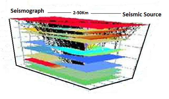
By combining its powerful vibroseis fleet and numerous stand alone seismological stations LandTech can perform wide aperture 3D reflection surveys over geologically complex regions.
The philosophy of our approach uses an iterative procedure. Starting from a set of interpreted and picked events, we invert in sequence (and separately) the velocity field and update the reflector structure, until their variations become sufficiently small. The interface estimation follows the principle of minimum dispersion of the reflected (or refracted) points, obtained by converting to depth the time residual through the estimated velocities. Within each single step, we optimize the velocity grid by applying the staggering procedure or by using the adaptive method for the grid updating. Different types of arrival (Direct, Reflected, Refracted & Dive), waves with type P, S or BOTH and different types of rays are used for the computation.
Adaptive irregular gridding is a basic tool for stabilizing tomographic inversion. The solutions of traveltime inversion are not often unique, because of the poor match between the ray path distribution and the tomographic grid. The procedure which defines the new grids uses the Voronoi polygons and follows three criteria for pixel adapting: the velocity gradient, derived from a preliminary velocity field; the minimum Fresnel radius; the reliability of the system, defined by the null space map.